Many informations about COVID-19, CORONAVIRUS, how will it spread into population
in many countries, actual COVID-19, CORONAVIRUS GRAPHS, also Perspectives, forecasts, outlooks for the future, epidemic and pandemic prognosis and actual
>>>>>> COVID-19, CORONAVIRUS PREDICTIONS <<<<<<
COVID-19, CORONAVIRUS links to GRAPHS day by day
COVID-19, CORONAVIRUS links to PREDICTIONS day by day
Other interesting COVID-19, CORONAVIRUS summary links and reference pages
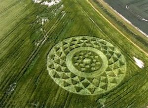
Crop circles 2013
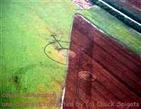

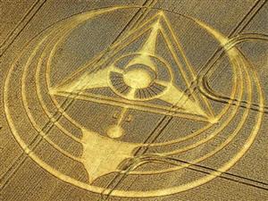
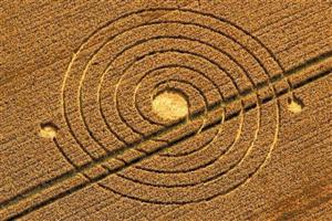
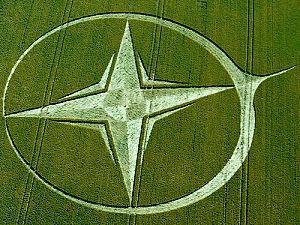
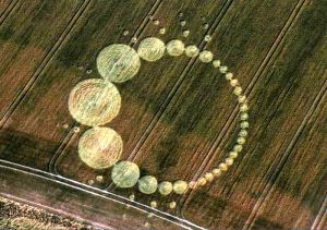
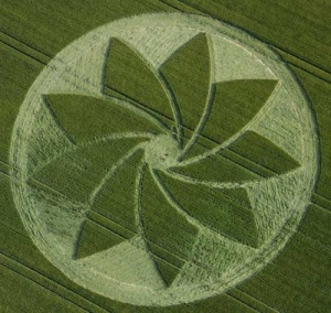
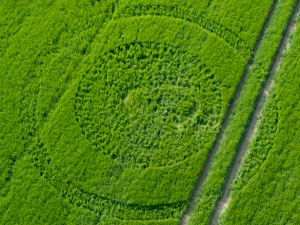
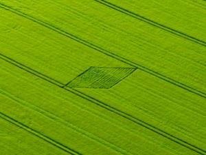
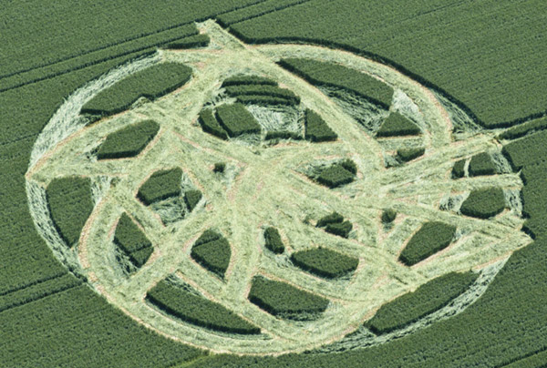
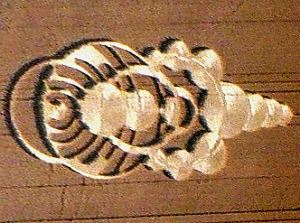
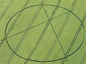
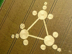
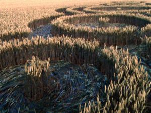
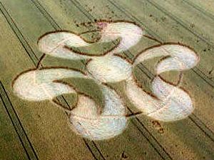
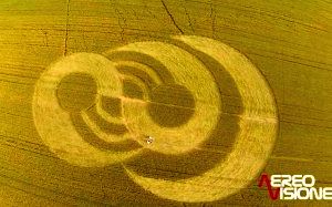
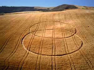
(photo icon also links to detailed page)The latest and last crop circle of 2013 season
| 2013-12-30 | USA | Chualar farm, Salinas, CA | 36.584871,-121.473678 | detail |
|
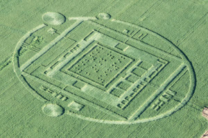
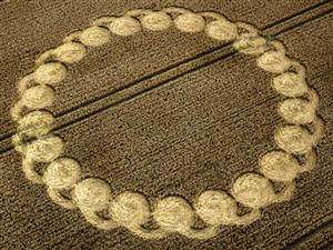
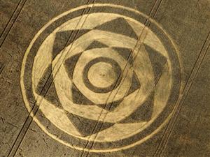
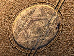
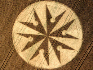
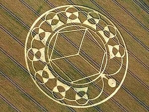
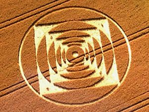
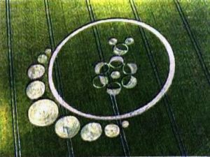
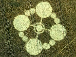
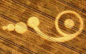
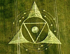
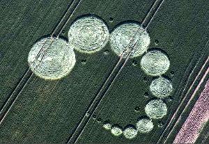
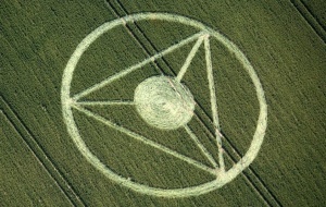
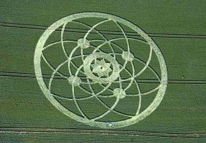
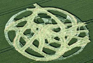
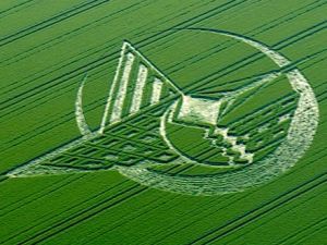
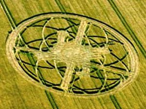
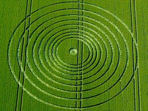
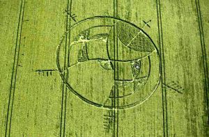
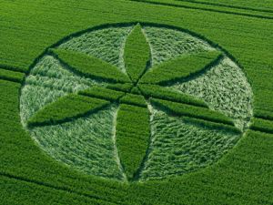
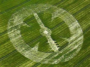
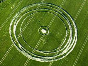
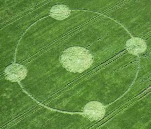
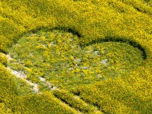
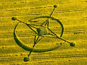
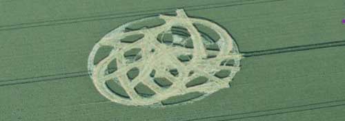
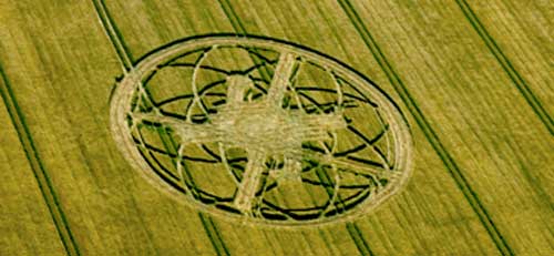
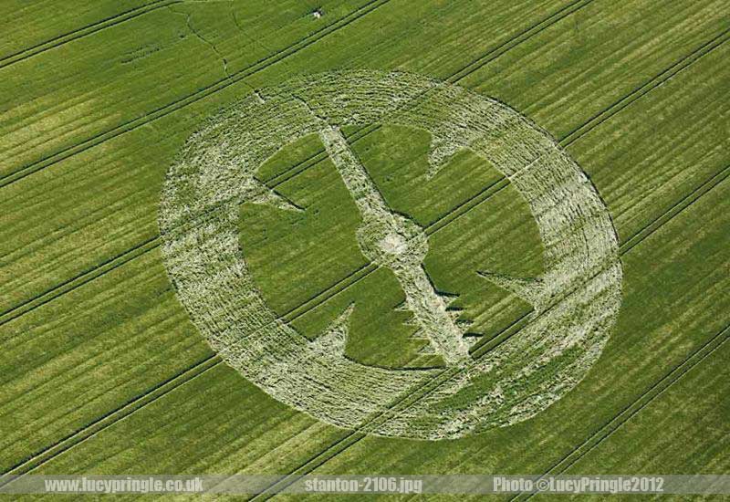
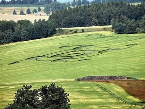
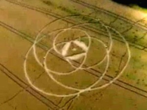
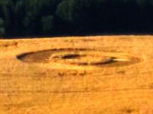
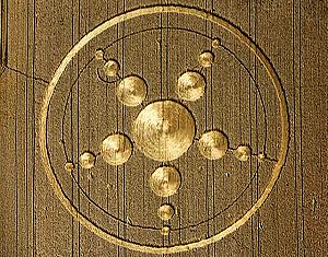
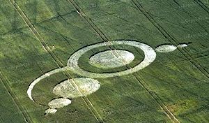
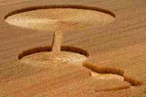
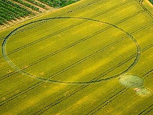
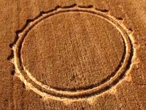
(photo icons also link to detailed pages)Crop Circles 2013 - England
Hover the pointer over the icon in the photo column to enlarge it. Click to visit much more detailed page of that particular crop circle, more photos, larger, some other notes, explanation details. The link from the GPS column points exactly to that location in Google Maps. Later also mounted model into Google Earth base photo surface.
| date | locality | GPS coordinates | note | links | photo |
| 2013-08-13 | Hackpen-Hill | 51.475538, -1.812867 | 1 |
| |
| 2013-08-13 | West Kennett | 51.408582, -1.849042 | 1 |
| |
| 2013-08-12 | Harewell Lane | 52.108429, -2.138432 | 1 |
| |
| 2013-08-11 | Hackpen Hill | 51.47561, -1.819528 | 1 |
| |
| 2013-08-10 | Chute Causeway | 51.313447, -1.586666 | 1 |
| |
| 2013-08-08 | Silbury Hill | 51.408984, -1.85947 | 1 |
| |
| 2013-08-06 | Monument Hill | 51.341557, -1.960663 | 1 |
| |
| 2013-08-01 | Stonehenge | 51.173034, -1.827039 | 1 |
| |
| 2013-08-01 | Roundway Hill | GPS unknown, cut | 1 |
| |
| 2013-08-01 | Milk Hill | 51.367775, -1.84796 | 1 |
| |
| 2013-07-31 | Gripp Patch | 51.31059, -1.883837 | 1, 2, 3 |
| |
| 2013-07-28 | LimeKiln-Wood | 52.689103, -2.515431 | 1 |
| |
| 2013-07-24 | Roundway | 51.384832, -1.995748 | 1, 2, 3, 4 |
| |
| 2013-07-22 | Giant's Grave | 51.365657, -1.763375 | 1, 2 |
| |
| 2013-07-16 | Hilcott | 51.322187, -1.846735 | 1, 2, 3, 4 |
| |
| 2013-07-15 | All Cannings | 51.350868, -1.863373 | 1, 2, 3, 4 |
| |
| 2013-07-15 | Hackpen Hill | 51.478233, -1.810776 | 1, 2. 3 |
| |
| 2013-07-13 | Evesham | 52.127207, -1.844499 | 1, 2. 3 |
| |
| 2013-07-08 | West Overton Hill | 51.402957, -1.803606 | cut | 1, 2 |
|
| 2013-07-07 | Avebury Trusloe | 51.419976, -1.865192 | 1, 2, 3, 4 |
| |
| 2013-07-07 | Milk Hill | 51.36970, -1.853649 | cut | 1 |
|
| 2013-07-06 | Broad Hinton | 51.513782, -1.821020 | 1, 2 |
| |
| 2013-07-06 | Ridgeway | 51.426399, -1.827422 | 1, 2, 3, 4 |
| |
| 2013-06-25 | Silbury Hill | 51.41318, -1.860981 | 1, 2, 3, 4 |
| |
| 2013-06-25 | Windmill Hill | 51.434083, -1.886376 | 1, 2, 3 |
| |
| 2013-06-23 | Horton | 51.367206, -1.947004 | 1, 2, 3 |
| |
| 2013-06-22 | Stanton St.B. - 2 | 51.363470, -1.860257 | 1, 2, 3 |
| |
| 2013-06-21 | Stanton St.Bernard | 51.363470, -1.860257 | 1, 2 |
| |
| 2013-06-21 | Yatesbury | 51.438412, -1.909622 | 1, 2, 3 |
| |
| 2013-06-09 | Stanton St.Bernard | 51.36845, -1.859038 | 1, 2 |
| |
| 2013-06-07 | Cherhill | 51.42681, -1.934885 | 1, 2 |
| |
| 2013-06-02 | Alton Priors | 51.36246, -1.837609 | 1, 2, 3, 4 |
|
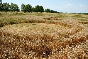
(photo icons also link to detailed pages)Crop Circles 2013 - Czech republic (Slovakia - SK)
Hover the pointer over the icon in the photo column to enlarge it. Click to visit much more detailed page of that particular crop circle, more photos, larger, some other notes, explanation details. The link from the GPS column points exactly to that location in mapy.cz, the link in note column (GM) points to the same location in Google Maps. Later also mounted model into Google Earth base photo surface.
| date | locality | GPS coordinates | note | links | photo |
| 2013-07-29 | Benesov | 49.763820, 14.718900 | GM | 1 |
|
| 2013-07-28 | Sychrov | 50.631636, 15.113899 | GM | 1 |
|
| 2013-07-22 | Rozsec nad Kunstatem | 49.537691, 16.462380 | GM | 1, 2, 3, 4 |
|
| 2013-07-18 | Rohozna - Osek | 49.306537, 13.963580 | GM | 1, 2 |
|
| 2013-07-18 | Drnovice | 49.476424, 16.545619 | GM | 1 |
|
| 2013-07-14 | Lipnik - Tlmace (SK) | 48.293114, 18.523069 | GM | 1, 2 |

|
| 2013-07-11 | Ustek | 50.593803, 14.364988 | GM | 1, 2 |
|
(photo icons also link to detailed pages)Crop Circles 2013 - other countries
| date | country | locality | GPS coordinates | note | links | photo |
| 2013-08-08 | Russia | unknown | --- |
 | ||
| 2013-08-07 | Netherland | Hoeven | 51.627928, 4.569550 | 1 |
| |
| 2013-07-30 | Netherland | Standdaarbuiten, Oudenbosch | 51.635493, 4.549711 | 1 |
|
|
| 2013-07-29 | Netherland | Stadskanaal, Groningen | 53.001674, 6.966049 | 1 |
| |
| 2013-07-28 | Germany | Haunsheim | 48.591040, 10.372924 | 1 |
| |
| 2013-07-23 | Poland | Wylatowo | 52.595531, 17.975832 | 1 |
| |
| 2013-07-21 | Belgium | Rue Lenoir, North East Momalle | 50.692097, 5.363797 | 1, 2 |
| |
| 2013-07-16 | Slovenia | Pecarovci, Pomurska | 46.740326, 16.133967 | 1, 2 |
| |
| 2013-07-04 | France | Imling near Sarrebourg | 48.717969, 7.006732 | 1 |
| |
| 2013-07-03 | Italy | Bienate, nr Milan, Lombardia | 45.577054, 8.831225 | 1, 2, 3, 4 |
| |
| 2013-07-03 | Switzerland | Rheinau, Nr Zurich | 47.643792, 8.630853 | 1, 2 |
| |
| 2013-07-01 | Italy | Brignano (Bergamo) | 45.540470, 9.664001 | 1 |
| |
| 2013-06-30 | Italy | Cavallo Grigio, Robella, Asti | 45.089147, 8.104256 | 1, 2, 3, 4 |

| |
| 2013-06-17 | Russia | Timashevsk, Krasnodar | 45.626667, 39.057778 | 1 |
| |
| 2013-06-09 | Italy | Finale Emilia (Modena) | 44.825583, 11.293389 | 1, 2, 3 |
| |
| 2013-06-08 | Italy | Cava Manara (Pavia) | 45.106221, 9.110326 | 1, 2, 3 |
| |
| 2013-06-06 | Italy | Barbiano Cotignola, nr Ravenna | 44.379637, 11.880791 | 1, 2, 3, 4 |
| |
| 2013-05-22 | Italy | Palazzo, San Gervasio | 40.939304, 15.974997 | 1, 2, 3, 4 |
| |
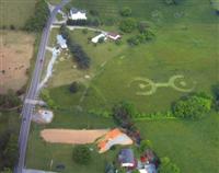
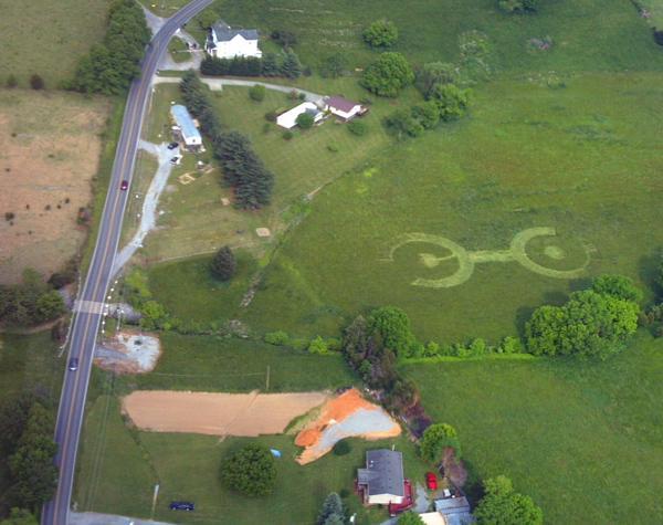
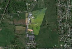
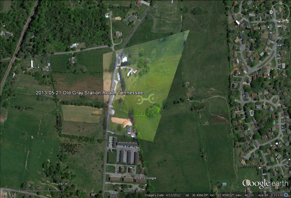
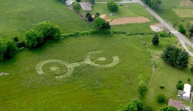
| 2013-05-21 | USA | Old Gray Station Road, TN | 36.40662, -82.459799 | 1, 2 |
| |
| 2013-06-16 | Italy | Enna, Sicily | 1, 2, 3 |
| ||
| 2013-06-20 | Italy | Cisterna, Latina | 1 |
| ||
| 2013-07-09 | Russia | Amber Michurinsky, Krasnodar | 1 |
|
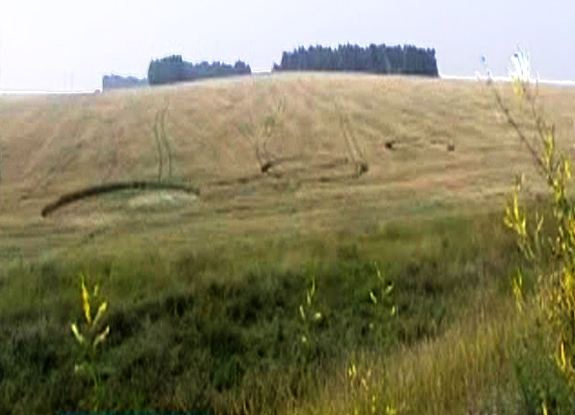
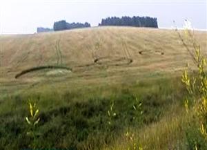
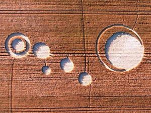
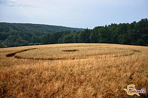
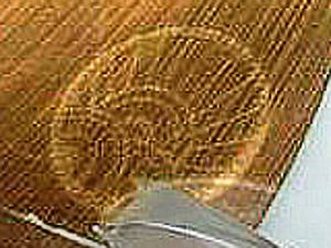
2013 - first crop circle - Tennessee, Old Gray Station Road, 21th of May
Long quotations (considerably more than only a few sentences) from domain cropcirclesonline.com also translated to any language, would be better publish anywhere with author's permission. Thanks.
Also copyrighted photographs ©cropcirclesonline.com ©quick spigots
Citations allowed, certainly. Name source, please. Also link where possible, thx.
Contact cropcirclesonline@gmail.com or lightningsymbols(at)hotmail.com